Benjamin Allen, PLS
Owner & Principal Surveyor
(843) 224-6347
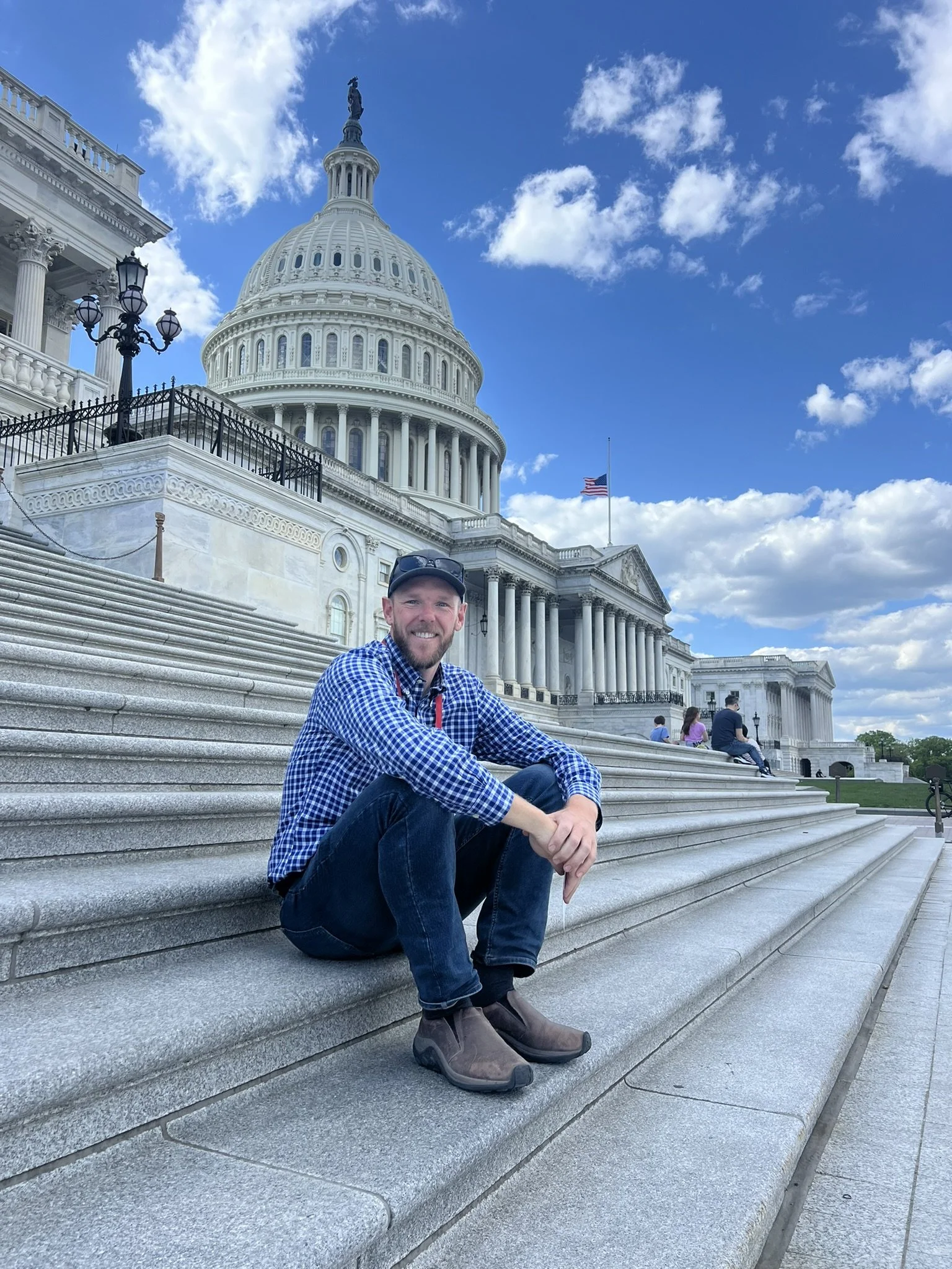
Benjamin Allen is a licensed Professional Land Surveyor (South Carolina #44826, Maine #2709) and FAA Part 107 drone pilot running a lean, responsive solo practice from Sandbar Lane on Folly Beach, South Carolina. He is currently pursuing a graduate degree from the University of Maine in Engineering Technology with a Land Surveying Concentration.
Ben launched Sandbar Land Surveying, LLC in early 2026 to deliver fast, accurate residential and light commercial surveying with direct, low-friction communication. He especially enjoys working with first-time homeowners, renovating homeowners, small builders, and realtors who need reliable, responsive service — no secretary and no office line. Text messages are welcome (including weekends). He answers his own phone, provides clear quotes quickly, and keeps clients updated. You work directly with Ben, who responds promptly and treats your project with the same care he gives his own.
Rooted in the Lowcountry with a love of the outdoors (Eagle Scout, surfer, backpacker, and traveler), Ben brings a strong sense of integrity, patience, and authenticity to his work. He is deeply committed to personal growth, and using his entrepreneurial drive to create real value.
Land Surveying Services
Primarly Serving Home Owners, Realtors, and Custom Home Builders.
(843) 224-6347
-
Determine and marks the legal boundaries of a property, including corners, lines, and any improvements or encroachments. It combines detailed research of deeds, plats, and historical records with accurate field measurements to produce a clear, compliant plat map.
-
Mortgage survey, lot survey, or location survey) is a more limited survey typically ordered for real estate transactions. It shows the location of existing improvements (house, driveway, fences, etc.) in relation to the apparent or record boundary lines, helping lenders, title companies, and buyers identify potential issues like encroachments or setbacks before closing.
-
A survey and document that determines and certifies the elevation of a building and its lowest floor relative to the base flood elevation (BFE) and other flood reference points. It combines precise field measurements with flood map research to produce an official FEMA-compliant form, essential for flood insurance, building permits, and compliance in coastal or flood-prone areas.
-
Property line staking is a professional surveying service that physically marks the exact location of your property boundaries on the ground using stakes, pins, or other monuments. It follows a boundary survey and provides clear, visible reference points for fences, construction, landscaping, or dispute resolution.
Sandbar Land Surveying, LLC
86 Sandbar Lane, PO 1581
Folly Beach, SC
29439
(843) 224-6347
ben@sandbarsurveying.com
Copyright © 2026 Sandbar Land Sureying, LLC